Missouri River & Stream Levels – Know Before You Go
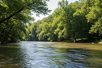
Before you head out to fish, float, or cool off in a Missouri stream, it’s smart to check the water levels—and that’s exactly what this page is for. We’ve rounded up real-time river and stream level pages across Missouri so you can easily see conditions on the rivers people actually use: from the mighty Missouri to popular float spots like the Gasconade, Current, and Meramec.
Whether you're planning a weekend canoe trip, checking for flood risk near your property, or wondering if the water's too low to launch a kayak, you'll find the info you need here. Each river page includes:
- Live USGS river gauge data
- Current stage (water height) and discharge
- Recent trends—rising, falling, or steady
This is your go-to resource for watching water levels on the rivers that matter to Missouri’s outdoorsmen, paddlers, anglers, and families.
Pick your river below and get the latest updates before you hit the water.
Live water level data for the Big Piney River in Missouri — current stage, recent trends, and USGS gauge readings before you head out to…
View Details →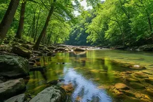
Live water level data for the Black River in Missouri — current stage, recent trends, and USGS gauge readings before you head out to float.
View Details →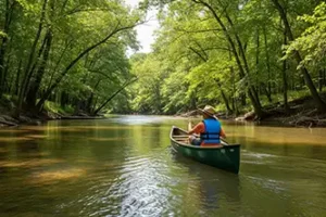
Live water level data for the Current River in Missouri — current stage, recent trends, and USGS gauge readings before you head out to fl…
View Details →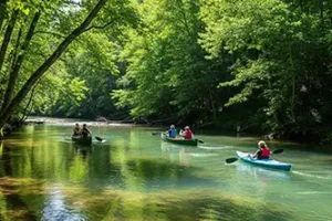
Live water level data for the Eleven Point River in Missouri — current stage, recent trends, and USGS gauge readings before you head out…
View Details →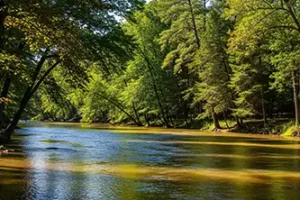
Live water level data for the Elk River in Missouri — current stage, recent trends, and USGS gauge readings before you head out to float.
View Details →
Live water level data for the Gasconade River in Missouri — current stage, recent trends, and USGS gauge readings before you head out to…
View Details →
Live water level data for the Huzzah Creek in Missouri — current stage, recent trends, and USGS gauge readings before you head out to float.
View Details →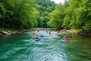
Live water level data for the Jacks Fork River in Missouri — current stage, recent trends, and USGS gauge readings before you head out to…
View Details →
Live water level data for the James River in Missouri — current stage, recent trends, and USGS gauge readings before you head out to float.
View Details →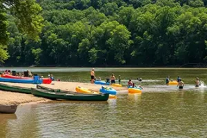
Live water level data for the Meramec River in Missouri — current stage, recent trends, and USGS gauge readings before you head out to fl…
View Details →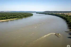
Live water level data for the Missouri River in Missouri — current stage, recent trends, and USGS gauge readings before you head out to f…
View Details →
Live water level data for the Niangua River in Missouri — current stage, recent trends, and USGS gauge readings before you head out to fl…
View Details →
Live water level data for the Osage River in Missouri — current stage, recent trends, and USGS gauge readings before you head out to float.
View Details →
Live water level data for the St. Francis River in Missouri — current stage, recent trends, and USGS gauge readings before you head out t…
View Details →