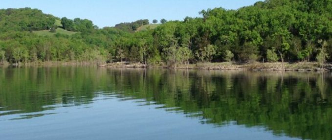
Table Rock Lake is a man-made lake or reservoir in southwestern Missouri and northwestern Arkansas formed by the damming of the White River in from 1954 through 1958 by the U.S. Army Corps of Engineers.
Along the lake there are numerous commercial marinas, while the Table Rock State Park is situated both north and south of the east side of the Table Rock Dam. Downstream from the dam, there is a fish hatchery, operated by the Missouri Department of Natural Resources and used to stock trout in Lake Taneycomo which Table Rock Dam supplies the cold water in the discharge.
The initial reason for the lake was the flood control on White River. The lake has a fluctuation of 15-feet and when the lake exceeds the maximum flood pool the excess water is discharged over the auxiliary overflow spillway at the north side of the dam.
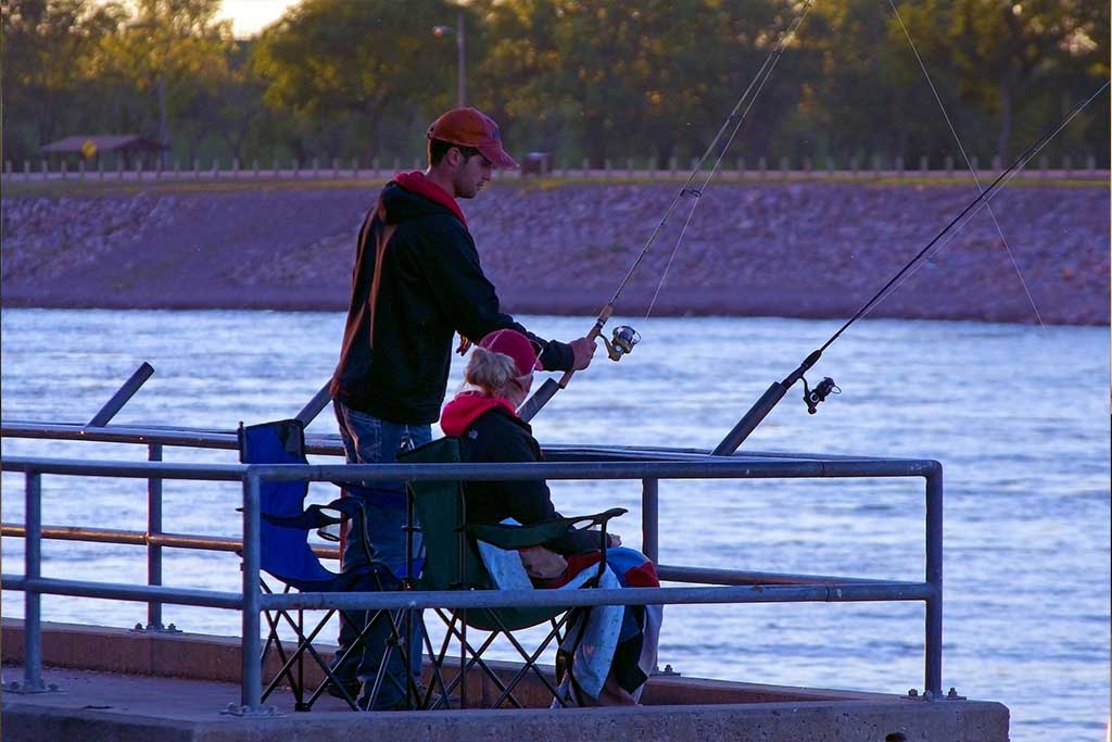
Table Rock is one of the most well-known bass fishing lakes in the country — being the home for numerous large-mouth, small-mouth, Kentucky spotted bass, white bass, crappie, large bluegill and catfish of all sizes. Walleye are growing in numbers as well. A large number of fishing tournaments are held on Table Rock Lake every year and the mild temperatures make it a great fishing hole year round. In fact some of the largest bass have been known to have been caught in the winter months.
Boating is a popular activity on Table Rock Lake. Fourteen marinas and twenty-four public boat ramps are located around the lake.
 Public Launch Ramps
Aunts Creek, Baxter, Beaver, Big Bay, Big Indian Access, Big M, Campbell Point, Cape Fair, Coombs Ferry Access, Cow Creek Access, Cricket Creek, Eagle Rock, Indian Point, Joe Bald Access, Kings River Access, Long Creek, Mill Creek, Moonshine Beach, Old 86, Port of Kimberling, Table Rock State Park, Viney Creek, Viola, Holiday Island
Marinas
Baxter, Big M, Campbell Point, Cape Fair, Cricket Creek, Eagle Rock, Hideaway, Holiday Island, Indian Point, Long Creek, Port of Kimberling, Table Rock State Park, Kings River (in Viola Park), Rock Lane
Camping
Sixteen public campgrounds are located around Table Rock Lake. Campgrounds are managed by several different agencies and campsites range from full-hookup to non-electric tent sites.
Hunting and Trapping
Hunting and trapping are permitted on the waters and on the surrounding government-owned lands of the projects and are subject to all applicable federal, state, and local laws and regulations.
Permanent tree stands are prohibited on Corps of Engineers property. Permanent stands or steps are any type that penetrates the bark of a tree. Portable stands with the owner’s name and address permanently affixed are permitted. Stands are to be hung no earlier than one week before the opening and remain no longer than one week after the close of archery season.
Swimming
Sixteen designated swimming areas are located around Table Rock Lake. Moonshine Beach is the only sandy beach on Table Rock Lake. The public beaches are Aunts Creek, Baxter, Beaver, Big M, Campbell Point, Cape Fair, Cricket Creek, Eagle Rock, Indian Point, Port of Kimberling, Long Creek, Mill Creek, Moonshine Beach, Old 86, Viney Creek, Viola